49: California
Note: This web site shows the tour in reverse order. If, instead, you want to view the tour from the beginning, go to the first entry (Nevada), and keep clicking the “»next state»” link that appears near the top-right corner of each page. (For some pages, you may need to scroll the page to the right to see the “»next state»” link near the top-right corner.)

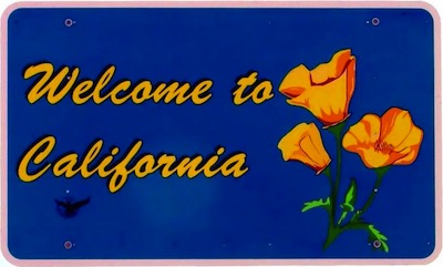 I made it! After 14,357 miles (23,105 km) and almost 2 months, I completed my tour of the 48 contiguous United States, plus the District of Columbia.
Some additional statistics:
- Latitude/Longitude extremes: North: 47.04 degrees (near Ovando, Montana); South: 29.16 degrees (near Grand Isle, Louisiana); West: -122.36 degrees (Redding, California); East: -68.18 degrees (Arcadia National Park, Maine)
- Farthest ‘as the crow flies’ distance from my home (in Mountain View, California): 2,812 miles (4,525 km), in Arcadia National Park, Maine
- Elevation extremes: High: 8,610 feet (near Crystal, New Mexico); Low: sea level (several places)
- Gas price extremes: High: $4.699/gallon (Chicago, Illinois; May 17th); Low: $3.359/gallon (Tulsa, Oklahoma; April 3rd)
- National Parks visited: Petrified Forest (Arizona); Hot Springs (Arkansas); Shenandoah (Virginia); Great Falls (Virginia); Acadia (Maine); Badlands (South Dakota); Wind Cave (South Dakota)
- State capital cities visited: Oklahoma City (Oklahoma); Little Rock (Arkansas); Jackson (Mississippi); Raleigh (North Carolina); Annapolis (Maryland); Augusta (Maine); Montpelier (Vermont); Des Moines (Iowa)
- Degree Confluence points visited: 37: 1 in California; 1 in Arizona; 2 in New Mexico; 1 in Oklahoma; 1 in Kansas; 3 in Arkansas; 1 in Tennessee; 3 in Mississippi; 2 in Louisiana; 1 in Georgia; 2 in South Carolina; 2 in North Carolina; 3 in Virginia; 1 in New Jersey; 1 in Massachusetts; 2 in New Hampshire; 3 in New York; 1 in Iowa; 2 in South Dakota; 2 in Montana; 2 in Oregon
I also did some sightseeing in the remote north-eastern corner of California, by visiting “McArthur-Burney Falls Memorial State Park“, to see the magnificent Burney Falls (which I had not seen before).
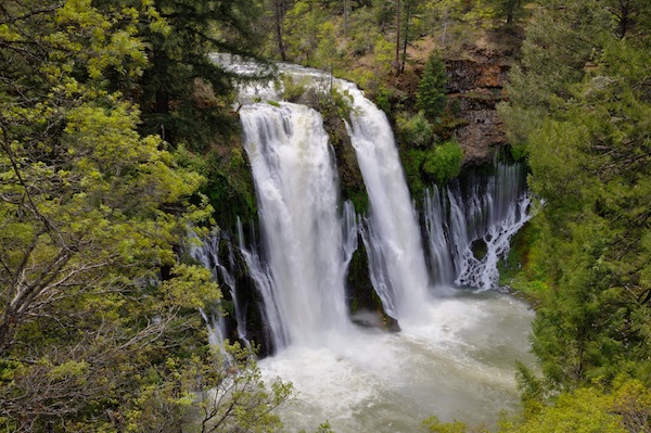 Burney Falls |
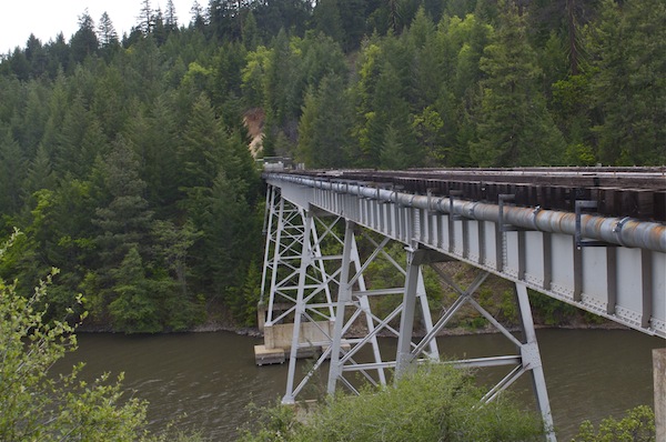 Lake Britton Bridge (near Burney Falls) - the site of the famous 'railroad bridge scene' in the movie "Stand By Me" |

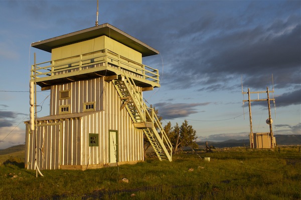
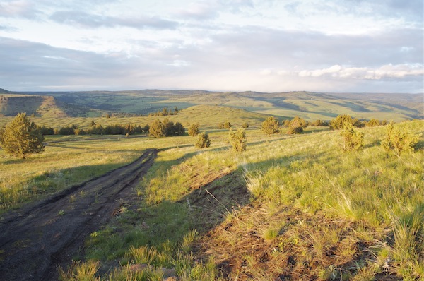
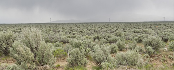
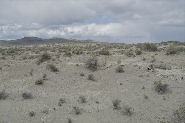
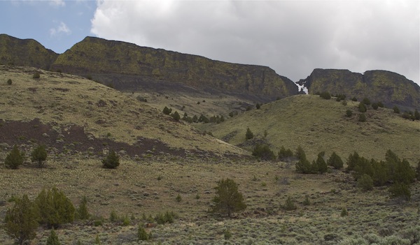
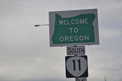 Most people’s impressions of Oregon are of the beautiful western half of the state: The Pacific Coast, the Willamette Valley, and the Cascade Range. The sparsely-populated eastern half of Oregon is much less well-known, yet is stunningly beautiful in its own right. Like the western half, it contains forests, mountains and farmland, but also a large region of desert, reminiscent of neighboring Nevada.
 Much of my route through Montana and Idaho happened to follow the route of the famous 1804-1806
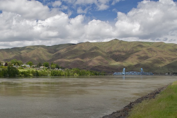
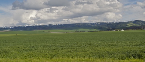
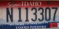
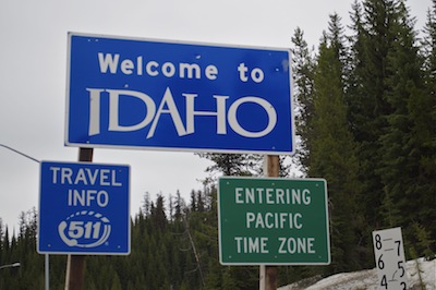 People usually cross Idaho using freeways at the southern end of the state (where most of its population – and its ‘famous potato’ farms – reside), or perhaps using the I-90 freeway at the far north of the state. I needed to cross the northern portion of the state (the ‘panhandle’) because I wanted to get to Washington State, but I didn’t want to drive farther north than necessary, so I instead drove the remote
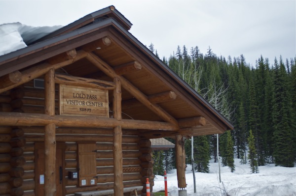
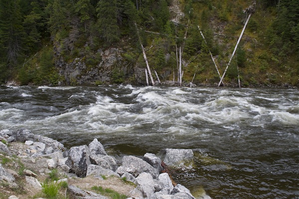
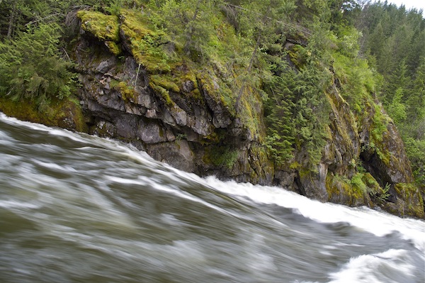
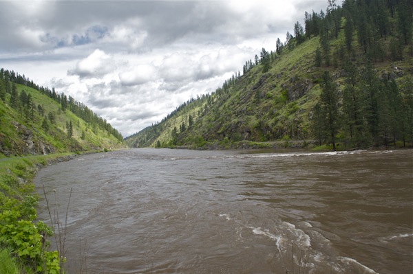

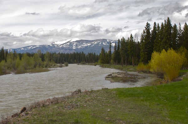
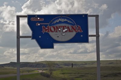 Montana is a large but sparsely populated state; it’s renowned far more for its nature than for its towns and cities. I had already visited the state briefly in 1994, but back then I saw just a small portion of its southwestern corner, near Yellowstone National park (which is mostly in neighboring Wyoming). So I was looking forward to driving across the whole length of this beautiful state.
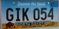
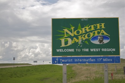 During this trip, I got to visit several states for the first time: Oklahoma, Kansas, Missouri, Arkansas, Kentucky, South Carolina, Delaware, Connecticut, Rhode Island, Vermont, Ohio, Iowa, Nebraska, South Dakota, and now North Dakota. I have now been to every state in the country, except Alaska – which will have to wait for some other year.
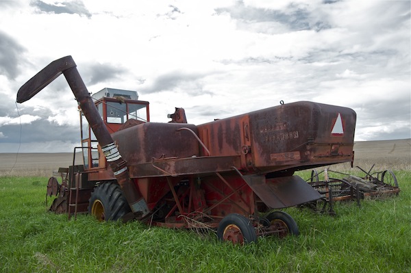
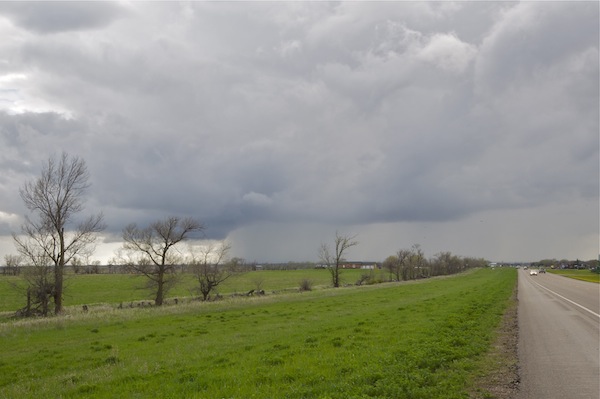
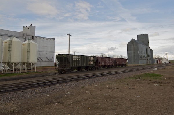


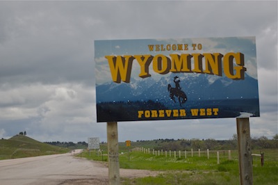 Wyoming is the least populated state in the country, and definitely one of the most scenic. I had visited the state once before, in 1994, when I visited the spectacular Yellowstone and Grand Teton National Parks in the north-western corner of the state. I definitely plan on visiting Wyoming again sometime in the future, probably spending several days here.
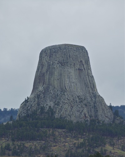
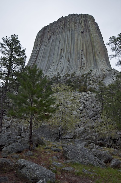

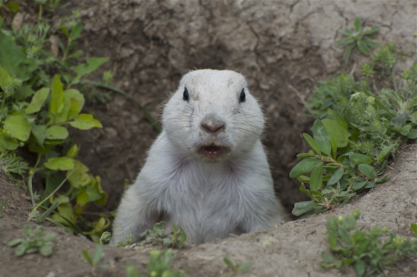
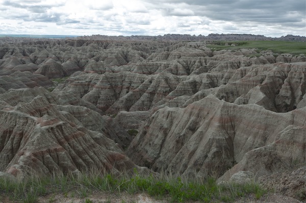
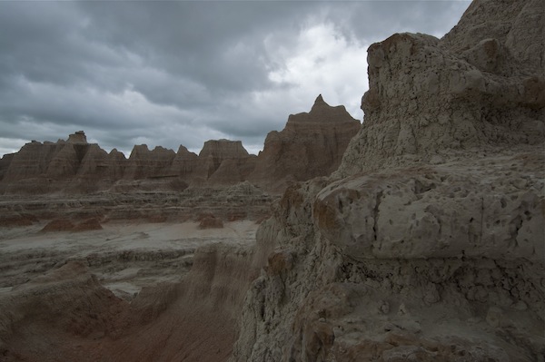
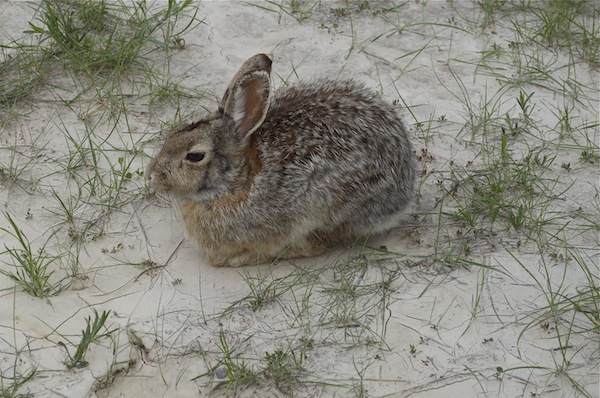
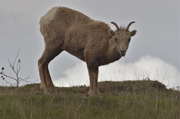
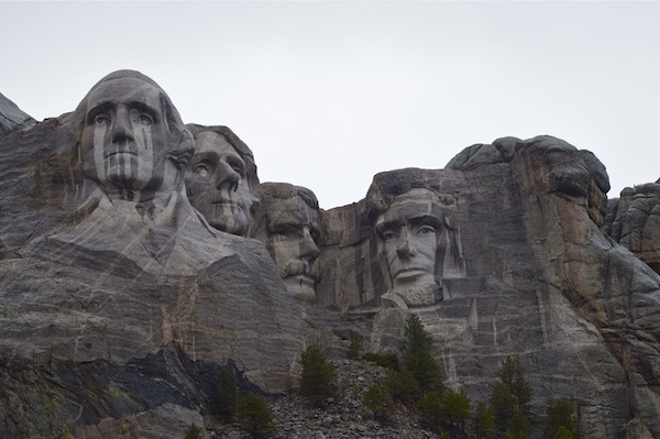
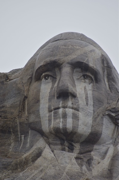
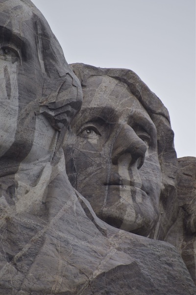
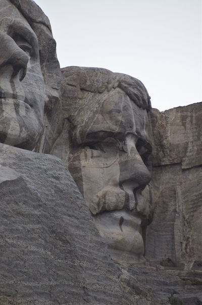
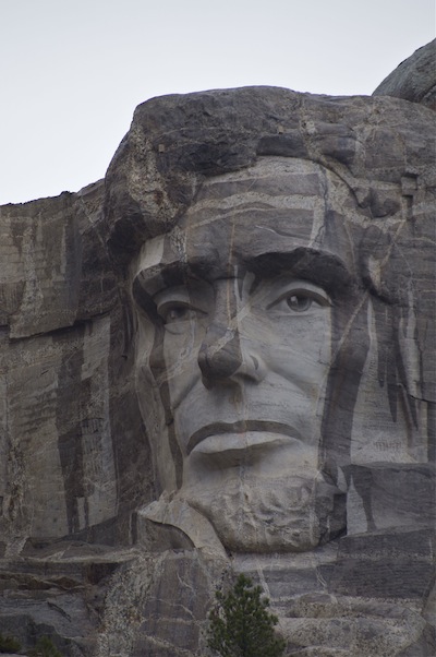
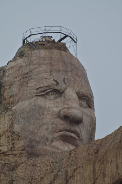
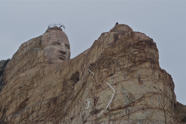
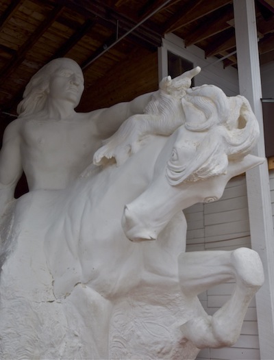
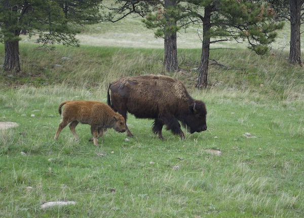
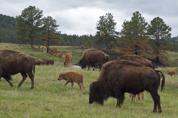
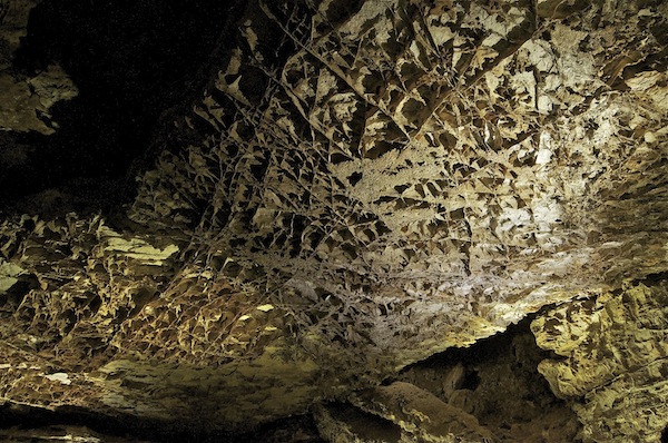
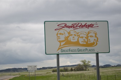 My first-ever visit to the Dakotas didn’t start well – I ran into torrential rain in eastern South Dakota, while driving westward from Minnesota. Fortunately, though, South Dakota’s major attractions are in the western half of the state, and the weather was clear the next day as I drove through the spectacular
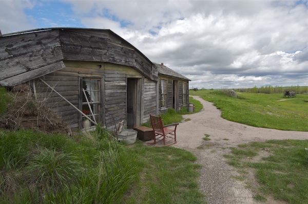
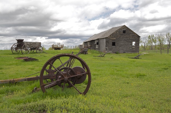
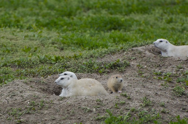
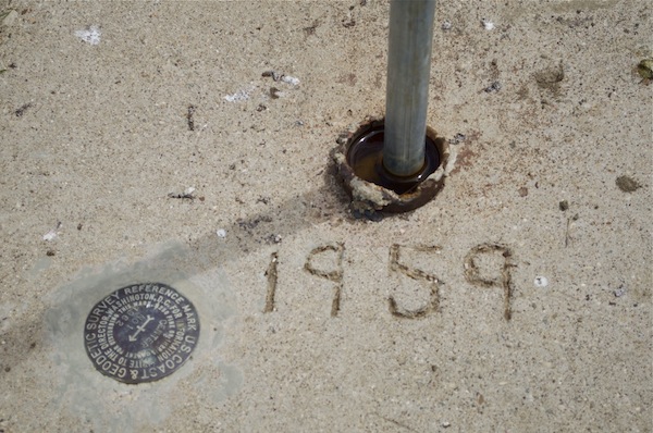
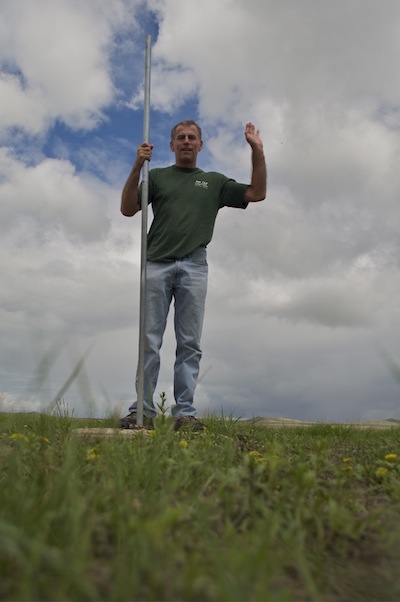

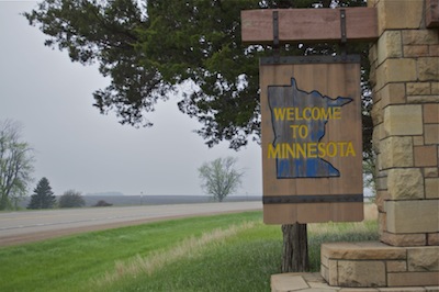 My visit to Minnesota was very brief. From Iowa, I drive through the town of
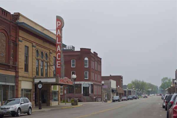

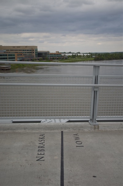 For my visit to Nebraska, I decided to do something a bit different: I parked my car in the city of